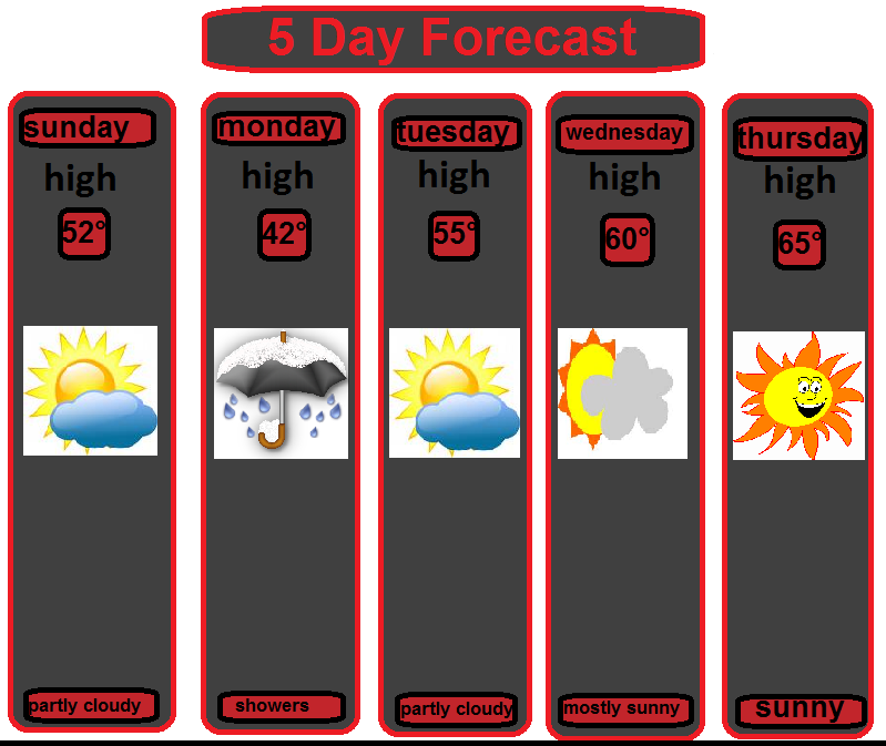
There should be a significant warm-up this week. If everything works out we might have to adjust some numbers and put a possible 70° degree day in the mix. I really like the the current forecast, I can't wait for the warmth. I can then take a nice walk with the Fiancée. But Just how long will the warmth last?!?!
It appears that the warmth only last for the week and then another COLD front will swing through the area and take a nice stab at the WARM AIR. It will be enough to move it out of the area, and this is what the models are showing for that.

You can see on this coming Thursday we will see temps in the 50's and 60's, warmer the farther west you go. and then on Tuesday the 22nd the temps are back below normal and it's likely to be colder, the models will show this as the week goes on. The actual COLD front would come through the area, taking the temps back down to the 30's and then colder from there.
If we're looking ahead to the same time period it appears there will be a "big" storm that will roll out of the south and head for the Ohio Valley area, it's still uncertain what the exact track will be and if it will be a classic snowstorm or rainstorm. but here's an idea of what the possible storm's track should be.

This is the possible storm track, for next week. This would deliver a big blow to the area if it is snow.
Given the storm track above, it seems that there will be 3 common storm track for the remainder of the WINTER and "SPRING."

If next weeks storm does turn out, it would be right on track with the common storm track. and if the conditions are right all of those track could deliver quite a blow to the area.
I'll have more later today!
No comments:
Post a Comment